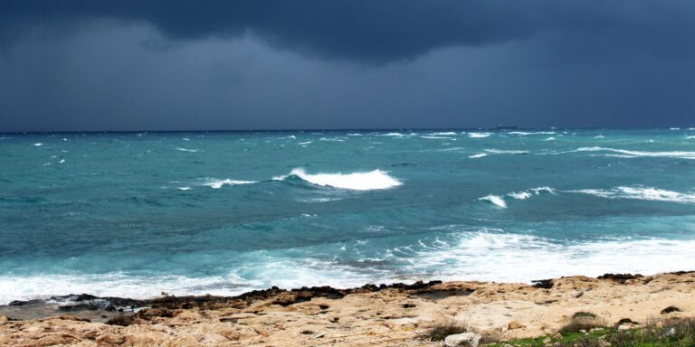
A coastal storm currently developing off the coast of North Carolina is set to significantly impact the Mid-Atlantic region through Thursday, with the most intense effects expected on Monday and Tuesday. As the storm moves closer to shore, it is bringing heavy rainfall, moderate to major coastal flooding, gusty winds, and high surf to areas from North Carolina to New Jersey. This storm is expected to dump between 2 and 4 inches of rain across much of the region, with some locations potentially receiving as much as 6 inches. This volume of rain, combined with coastal flooding and high surf, could create hazardous conditions along the eastern seaboard.
The storm is causing significant concerns for coastal areas, especially those along the southern Chesapeake Bay and northeast North Carolina, where coastal flood alerts have already been issued. Cities and towns like Norfolk, Duck, and Jamestown, along with other areas near the James River, are expected to experience substantial flooding. For residents in these areas, the combination of heavy rainfall and rising tides could result in dangerous flooding that may disrupt daily life, cause property damage, and threaten transportation routes. Coastal flooding could also affect infrastructure, with some roads potentially becoming impassable due to the rising water levels.
Though the system does not meet the strict criteria to be classified as a named tropical storm, its warm-core structure suggests it may have some characteristics of a tropical system. This means it could behave similarly to a tropical storm in terms of its intensity and impact. The storm’s structure makes it a unique system, and while it is not technically a tropical storm, its potential to cause severe weather is still significant.
Read Also: https://nvtoday.com/major-winter-storm-sweeps-across-the-u-s-affecting-70-million-people/
The storm is particularly impactful for a region that has been experiencing abnormally dry conditions in recent weeks. This lack of rain has left many areas more susceptible to flash flooding, and the heavy rainfall brought by the storm could lead to sudden flooding events, especially in urban and low-lying areas where drainage systems are not equipped to handle large amounts of water in a short period. These flooding risks are compounded by gusty winds, which are expected to reach up to 40 mph in some areas. These winds could lead to minor damage, such as fallen trees and power outages, further complicating the situation for residents already facing flood risks.
While the storm is expected to weaken after making landfall on Tuesday, the impacts are expected to last through the week, with the system gradually moving away from the region by Friday. This prolonged period of adverse weather could affect many people, especially those along the Interstate 95 corridor, where gusty winds and flooded roadways may lead to disruptions in travel and local commerce. Travelers and commuters in the region should expect delays and should take extra precautions when driving, as the combination of wet roads, reduced visibility, and wind could lead to dangerous driving conditions.
High surf and rip current risks will also continue along coastal areas, even after the storm weakens. For beachgoers, this means that the threat of dangerous currents will persist, making swimming and other water activities hazardous. Local authorities have issued warnings for residents to stay away from the water, as rip currents could be life-threatening, particularly for those unfamiliar with the coastal environment. The combination of high surf, rough seas, and strong winds will keep conditions hazardous along the coastline throughout the storm’s duration.
In addition to the immediate weather impacts, the storm serves as a reminder of the vulnerability of coastal regions to intense weather systems. Although it may not meet the full criteria of a tropical storm, this system is acting as if it were one in many respects, with its potential to cause flooding, damage, and hazardous surf conditions. Residents along the Mid-Atlantic coast are urged to stay informed, prepare for potential evacuations if necessary, and remain cautious as the storm unfolds. Despite the expected weakening of the system later in the week, the lingering risks—particularly from coastal flooding, flash flooding, and high surf—could cause disruptions long after the storm moves out of the region.
In conclusion, while the storm’s duration may be relatively short, its impacts are expected to be significant. Coastal flooding, heavy rainfall, and dangerous surf conditions will keep residents and authorities on high alert throughout the coming days. The storm’s ability to bring together a combination of weather hazards underscores the need for preparation in coastal and low-lying areas, where the risks of flooding and power outages are high. As the storm weakens, there will still be a period of dangerous conditions along the coast, and those in affected areas should continue to monitor updates and take appropriate precautions.


